
Measuring Earth with greater precision
We connect sensor networks and analyse Earth data to build a more measurable planet


Positioning
Precise positioning for your devices.


Geospatial
Data insights for your projects.
Precise positioning at 5cm accuracy, wherever you operate.
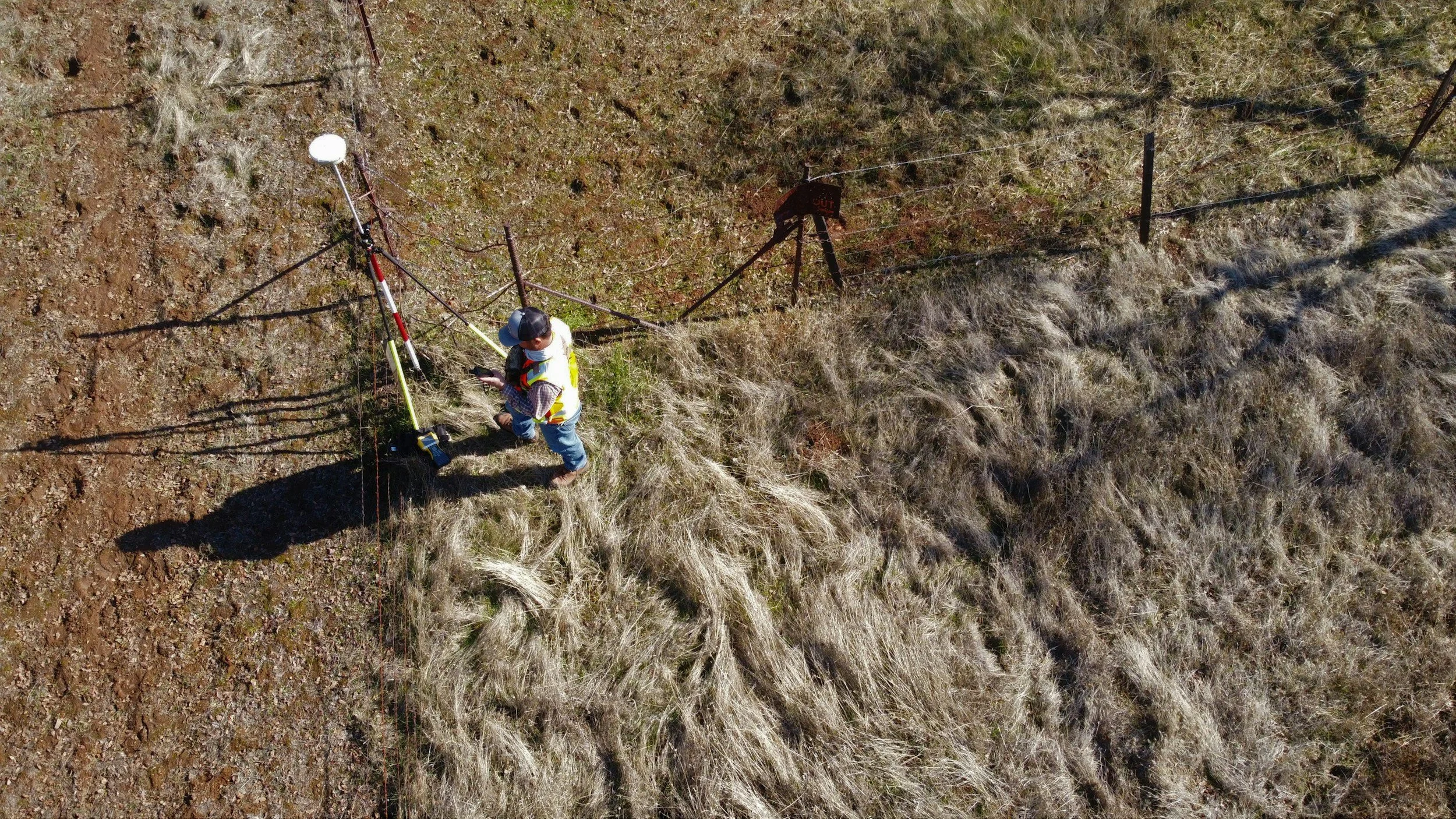
Positioning
centimetre accuracy in your device
NRTK delivers a network RTK solution with seamless coverage across the US, EU and Australia.
From an infrastructure of 5,000+ base stations worldwide, and baselines of less than 70km, you are guaranteed to enjoy precise positioning anywhere.
-
Provides stable performance from a network of Continuously Operating Reference Stations (CORS) for critical applications.
-
The largest collection of GNSS receivers capable of tracking all constellations and signals in view across the US, EU and Australia.
-
From global reference systems (ITRF2000) to legal national or state datums (NAD83) with customizable options for local projects.
-
Positioning service with consistent centimeter accuracy performance and continuous monitoring to ensure high-availability for the most demanding applications.
-
Available 24/7 from our global online team and just a phone call away from our local staff with on-the-ground knowledge of your project.
-
Adapted to project-specific requirements, delivering precise positioning in multiple message formats, transmission protocols and pricing models.
-
Coverage in US, EU, Australia, with expanding infrastructure in new regions every week.

Geospatial
custom analytics solutions for network operators and projects
Our data science team provide custom geospatial solutions for network operators, infrastructure projects and governments. Get early access to our data analytics platform to customise your own routines from multiple geospatial datasets.
-
Perform spatial analysis and simulations to model RF coverage, satellite visibility and test positioning performance.
-
Manage sensor networks with planning tools, site selection, network design and optimisation, asset management and real-time monitoring.
-
Build maps, 3D visualisations for enhanced analysis and decision making.
-
Our team of GIS and data experts deliver custom insights for infrastructure projects, environmental studies and Earth science.
Our partners


Contact us
Are you interested in early access to our services, want to join our team, discuss opportunities, general enquiries, or want to say hello?